
In a world that constantly buzzes with technology, it’s easy to feel lost when the gadgets we depend on fail us. What if the GPS suddenly stops working, and you find yourself wandering through the woods? Knowing how to navigate without technology isn’t just a useful skill—it’s an empowering one! This guide dives into the essential techniques for basic navigation using traditional methods. From reading maps and using compasses to deciphering natural landmarks, you’ll learn how to make your way through the great outdoors confidently. These skills not only enrich your adventures but also deepen your connection with nature. So, gear up and let’s embark on this journey to uncover the art of navigating without a screen!
The “Basic Navigation Without Technology: Complete Guide” covers fundamental skills such as map reading, compass use, understanding natural landmarks, and recognizing environmental cues to maintain direction. It emphasizes the importance of practicing these skills in outdoor settings to enhance your ability to navigate successfully without relying on electronic devices.
Basic Skills and Techniques
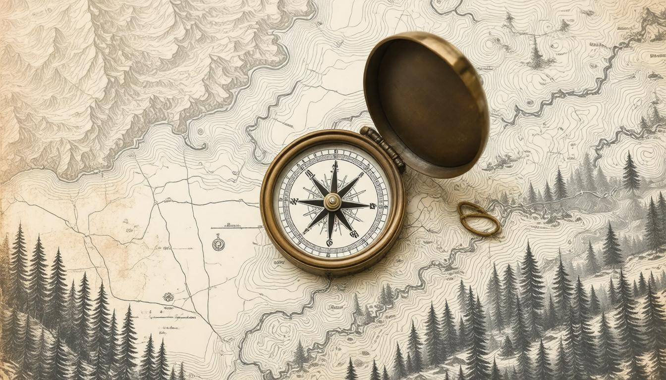
Learning to orient oneself in nature is an empowering experience. The art of orienteering begins with mastering the compass. When you pick up a compass, it may seem daunting at first, but take a moment to familiarize yourself with its features. The compass needle will always point towards magnetic north, allowing you to orient yourself relative to the world around you.
Start by holding the compass flat in your palm and slowly turning your body until the needle aligns with the north indicator on the compass dial. This simple adjustment connects you with your environment.
Once you grasp how to find magnetic north, the next step involves integrating a map into your navigation routine.
Think of a map as a treasure map: X marks the spot! To begin setting a bearing, lay the map flat on a solid surface. Place your compass on top and turn the entire map so that both the north on the map and your compass needle now both point toward true north.
Next, select your destination—this could be a distant hill or campsite—and draw a straight line from your current location to this point. Now rotate the compass housing until the orienting arrow is aligned with this line on the map. Voilà! You’ve set your bearing.
This process allows you to translate the two-dimensional layout of the map into meaningful directionality—a skill many overlook yet one that proves invaluable when technology fails.
With these basic skills established, let us not overlook some alternative navigation techniques that complement those foundational methods. Familiarizing yourself with natural indicators can be particularly effective. For instance, notice how moss tends to grow more lushly on shady northern sides of trees in the Northern Hemisphere. Observing changes in vegetation or terrain can guide you along less defined paths.
Alongside natural cues, keeping track of time is just as essential.
A good technique for gauging direction during daylight is observing the sun’s path across the sky. The sun rises in the east and sets in the west. By noting its position at different times of day, you can ascertain which general direction you are facing or adjust accordingly if necessary.
Furthermore, knowing how to find the North Star at night can provide reliable orientation since it remains almost fixed in place throughout the night sky.
As we rely less on technology for navigation today, it’s become vital to hone these basic skills; doing so sparks confidence and independence, which inherently brings adventure into our lives!
Investing time into practicing these skills will not only help when you’re out and about but may also bring clarity back into everyday situations where technology just can’t assist—like getting lost in unfamiliar city streets or hiking through untouched wilderness.
Being attuned to your surroundings prepares one for anything life throws their way. Incorporating these techniques into daily practice creates familiarity that enhances intuition and sharpens decision-making under pressure.
As we embrace these skills, let’s turn our attention now toward understanding celestial navigation—an ancient art that brings light to our journey beneath the stars.
Sun and Star Navigation
Nature provides several cues that can guide you during the day and night. One of the most reliable is the sun, which consistently rises in the east and sets in the west. By observing its position, you can establish a directional sense that helps prevent disorientation. During the daytime, pay attention to the movement of the sun across the sky. For example, when it’s noon, the sun reaches its highest point and casts the shortest shadow, making it an ideal reference point for direction.
Daytime Navigation
To pinpoint cardinal directions effectively, you can employ the simple but effective stick-and-shadow method. This technique is not only easy to perform but also devoid of any technological complexity.
Simply drive a stick vertically into the ground at a sunny spot and observe its shadow. As sunlight moves, so does the stick’s shadow. Mark its tip with a small stone at first glance and then wait about 15 minutes before marking where it has relocated. The line drawn between these two points will grant you valuable directional information: your first mark indicates roughly west while your second mark indicates east.
This technique can be a lifesaver when you’re lost or away from familiar territory; even without a compass, you’ll acquire a strong sense of your bearings.
Nighttime Navigation
Once darkness envelops the landscape, you can determine your direction by relying on the stars above. In the northern hemisphere, look for the North Star (Polaris), which serves as an unwavering beacon in celestial navigation. You can locate Polaris by tracing an imaginary line through the two stars at the end of the Big Dipper’s bowl—this handy constellation acts as a helpful guide toward true north.
In the southern hemisphere, your go-to star is found in the Southern Cross constellation. This small yet distinct grouping of stars can lead you south by extending the long axis of the cross approximately four and a half times its length to find the south celestial pole—a technique utilized by mariners for generations to navigate uncharted waters.
Being aware of these celestial bodies not only enhances your navigation skills but also deepens your appreciation for nature itself. It’s remarkable how our ancestors relied on such methods to traverse vast landscapes without modern devices like GPS. Learning these skills pays dividends, allowing travelers to move confidently through unfamiliar territories while staying attuned to their surroundings.
Much like our reliance on natural phenomena during daylight hours, celestial markers guide us at night as well. These timeless techniques are essential navigational tools that keep you oriented no matter where your journey takes you.
Natural Signs and Landmarks
Nature itself offers various signs that can help determine direction or position without modern devices. One of the most telling indicators is tree growth. In the Northern Hemisphere, tree trunks often display a peculiar characteristic: moss and lichen thrive on the northern side. This occurs because the southern exposure receives more sunlight, resulting in healthier growth on that side. The contrast between the fuller branches toward the south and the neater, sparser crowns on the north can visually indicate where you are headed. Keeping an eye out for these growth habits allows you to read the forest like a map.
Just as trees provide visual clues, animal behavior can serve as another useful compass.
Understanding Animal Pathways
Animals often develop predictable patterns in their movements that can guide your way. For instance, deer are known to follow specific trails to access food and water sources. By studying their pathways, one might find themselves gently led towards life-giving rivers or streams. Observations of these trails reveal that deer tend to zigzag along routes that minimize risk while naturally progressing toward water—essential for their survival.
Additionally, birds exhibit similar behaviors; they often fly toward water when returning to roost in the evening, allowing you to track their flight patterns to locate aquatic resources.
These natural signs form a broader framework of environmental cues that improve your navigation skills without reliance on technology.
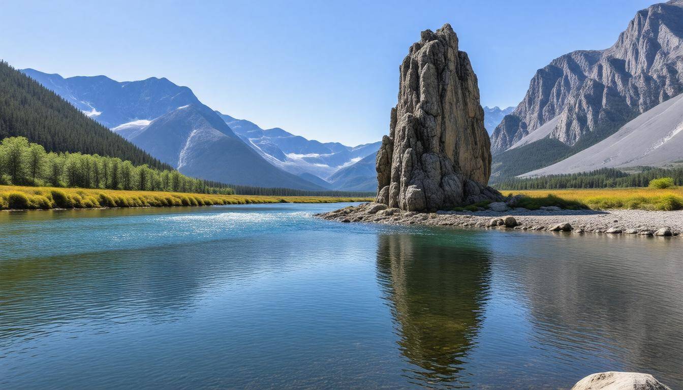
Less commonly considered but equally important are landmarks such as mountains, valleys, and rivers that shape the landscape. These features not only orient you geographically but also serve as mental markers when planning your route. For example, if you keep a river on your left and follow it upstream, you are less likely to stray from your intended path.
The act of combining these navigational elements enhances your ability to traverse unfamiliar environments effectively. By honing these skills through practice—perhaps during outdoor excursions or games like No Man’s Sky—you will cultivate a robust intuition for directional awareness.
As you learn to interpret these environmental cues, understanding the role of waterways and terrain features becomes crucial for effective navigation.
Waterways and Terrain Features
Each type of waterway—be it rivers, streams, lakes, or ponds—offers unique advantages when navigating. For example, rivers can act as natural highways in the wilderness. When you find a river, it’s often flowing toward larger bodies of water like lakes or oceans that may have human settlements nearby. This serves as an essential navigational aid since these settlements usually represent points of interest, like roads or campsites.
Imagine floating down a river with its gentle current guiding you home; it’s like nature’s version of GPS.
Following Rivers
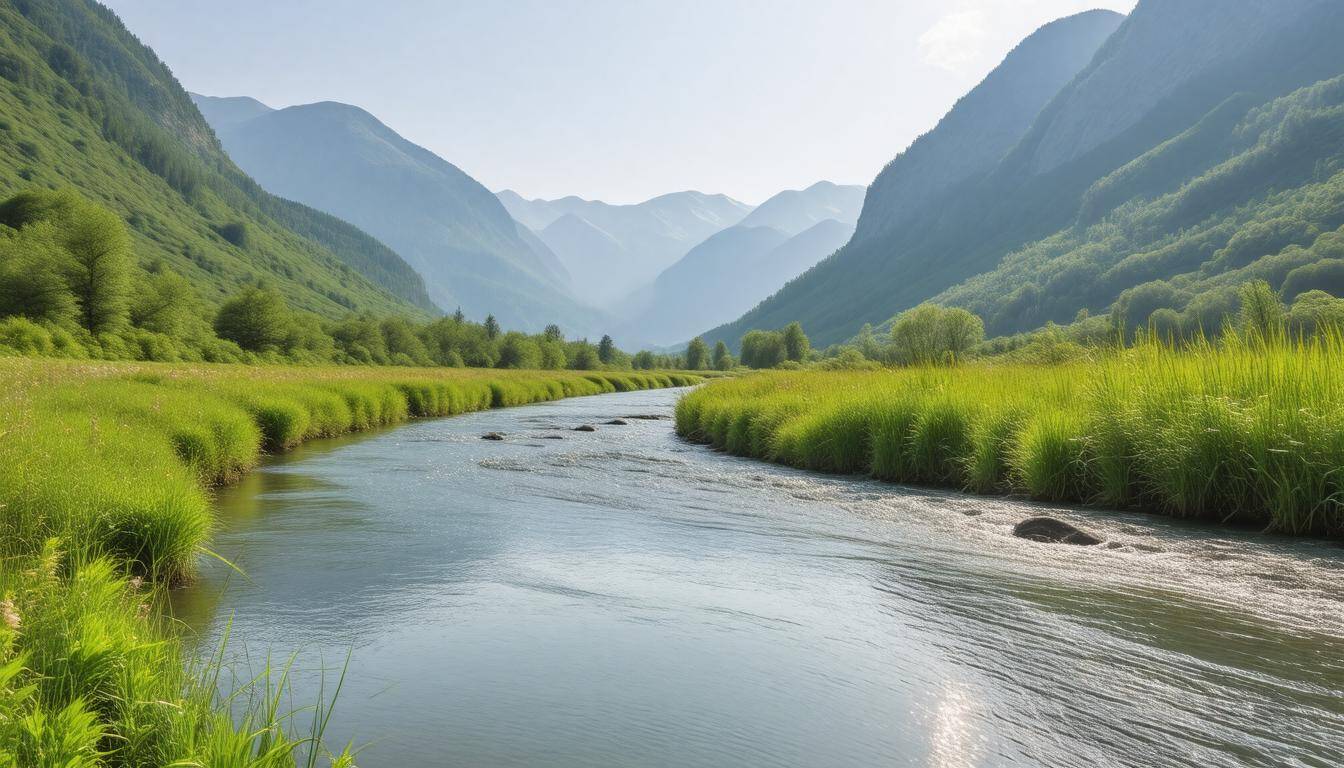
Rivers present a remarkable opportunity because they carry not just water but stories too. Many lives depend on rivers for sustenance; numerous trails and pathways emerge alongside these waterways, created by encounters between man and nature over centuries. Furthermore, rivers consistently flow from higher elevations to lower land, giving you a clear understanding of direction—downstream is where you want to go if you’re seeking human civilization or resources.
In fact, some adventurers rely solely on rivers to navigate vast terrains without technological aid.
However, it’s not just the water that can guide you; having a firm grasp of the surrounding landscape helps immensely as well.
Utilizing Valleys and Ridges
Valleys can lead you downhill toward water sources—which is crucial, as fresh water is necessary for survival. Meanwhile, ridges serve as elevated lookout points that provide stunning views of your surroundings. Climbing up to a ridge allows for better situational awareness about where you are and where you want to go.
I always schedule rest stops at these high vantage points to assess my map against what I see before me. The panorama allows me to spot natural landmarks I might use as checkpoints later on and gives me a chance to recalibrate my sense of direction based on the sun or visible landmarks. It can be astonishing how simple terrain interpretations can completely shape your path forward.
Utilizing both waterways and terrain features strengthens your navigation skills while deepening your appreciation for the natural world around you. By integrating these elements into your exploratory toolbox, you’re becoming a more adept navigator and an astute observer of your environment.
With this foundational understanding in place, exploring various methods for effectively determining direction will refine your outdoor experiences even further.
Orientation and Direction Methods
Knowing your orientation can mean the difference between finding your way and feeling lost in the wilderness. Beyond the well-known methods of following the sun and stars, several straightforward techniques can help you reclaim your sense of direction. These methods rely on natural phenomena as well as common items you might already have, making them accessible to anyone willing to learn.
Shadow Stick Method
One of the most effective techniques is the Shadow Stick Method. This method relies on the predictable movement of shadows cast by the sun, making it intuitive and easy to follow. To execute this method, you’ll need a straight stick that’s roughly as tall as your hand. Simply place it upright into the ground at a location that receives full sun exposure. After about fifteen minutes, observe where the tip of the shadow falls and mark its position in the dirt or on paper.
Marking these positions creates a line; by connecting the original shadow tip with its new position, you establish an east-west line. The first mark indicates westward, providing essential orientation information. This simple technique demonstrates how natural elements can guide us effectively, even without modern tools.
In practice, this method is particularly beneficial during daylight hours because it offers not just directional guidance but also aids in understanding your surroundings better. Being mindful of environmental cues helps build a stronger connection to nature, which is crucial when navigating off the beaten path.
Using a Wrist Watch
Another handy tool for direction finding lies in something many people carry daily: an analog wristwatch. This method might seem counterintuitive initially, yet it works marvelously when executed correctly. To use this method, point the hour hand towards the sun.
Next, visualize or mentally draw a line halfway between the hour hand and the 12 o’clock position on your watch face; this midpoint indicates true south when you’re situated in the Northern Hemisphere. While some may think this requires precise timing or special conditions, it’s surprisingly adaptable—just be aware that this technique aims for approximate orientation rather than pinpoint accuracy.
What makes this method intriguing is not just its utility but also its simplicity—it turns an everyday item into a navigation tool. Remembering to look at your wristwatch instead of solely relying on technology keeps our primal instincts active—helping us develop those essential navigational skills that might save us one day.
By integrating these methods into your navigation skillset, you begin to form a robust mental map of the world around you—a mix of understanding terrain features and being aware of natural signs. Whether trekking through thick forests or scaling mountains, these simple techniques empower you to venture confidently into nature while maintaining a solid sense of direction—even without tech enhancements that often fail us in remote settings.
As you consider these foundational skills for navigation, it’s essential to explore more specialized tactics that further enhance your ability to navigate effectively in various environments.
Survival Tactics for Navigation
One of the most effective strategies in wilderness navigation is to build and use waypoints. These physical markers—created from stones, sticks, or any natural material found nearby—become crucial reference points along your journey. By placing these waypoints within sight of one another, you create a clear visual path that simplifies backtracking. Imagine wandering through dense woods; by strategically positioning your waypoints, you secure your route and empower yourself with confidence when it’s time to return.
Building and Using Waypoints
When constructing waypoints, consider their visibility and distinctiveness. A stack of three rocks or a prominent branch leaning against a tree draws the eye and prevents confusion later. Make it a practice to pause periodically, checking that each waypoint is still in view of the next one. This practice fosters intentionality in your navigation and helps maintain a sense of direction even when the environment changes.
Moreover, it’s invaluable to document your surroundings alongside building waypoints. Jot down notes about unique terrain features or landmarks you notice—the way a mountain looms in the distance or where a river bends sharply. Such details enhance your route planning and increase familiarity with the landscape, reinforcing your overall navigational skills.
Leaving Trail Markers
Another technique employed with waypoints is leaving trail markers. As you move through an unfamiliar area, consider using biodegradable markers made from plant materials like leaves or branches. These are eco-friendly and blend seamlessly into the environment. For instance, bending the top of a grass stalk to point towards your next waypoint creates a subtle yet effective guide back without drastically altering the landscape.
Utilizing these simple yet effective tactics lays the groundwork for safer navigation. It’s important to incorporate continuous practice into your routines. Each expedition should bolster your confidence and skill set—transforming mere wanderings into purposeful journeys brimming with discoveries and learning opportunities.
Having mastered these skills prepares you to tackle the nuances of reading intricate maps, opening up new dimensions in your outdoor adventures.
Topographical Map Reading
Topographic maps are indispensable tools that reveal the intricate details of the land’s surface. They showcase elevation changes through contour lines, and familiarizing yourself with these maps can greatly enhance your navigation skills. Each line on a topographic map tells a story about the terrain, providing critical insights into hills, valleys, and waterways. It’s like having a conversation with the landscape itself, where the contours describe the rise and fall of the earth.
Reading Contour Lines
Contour lines are where the true essence of a topographic map lies. These lines represent equal elevations and help you visualize how steep or flat a particular area may be. If you’ve ever seen tightly packed lines, you know you’re looking at steep terrain — perhaps a cliff or mountainous region. On the other hand, if those lines are spaced farther apart, you can expect gentler slopes that would be easier to traverse.
Imagine hiking up a hill; if the contour lines transform from widely spaced to closely packed as you ascend, you’re in for a challenge. Conversely, an area with far-apart lines may offer a pleasant walk with minimal uphill effort.
Knowing how to interpret these lines isn’t just academic; it’s practical advice that can shape your outdoor experience drastically. For instance, if there is a series of concentric circles on your map, you’re likely viewing a peak or summit! By recognizing these symbols on the map, you can easily plan your route to advance toward your destination efficiently while avoiding unnecessary exertion.
Interpreting Symbols
Another critical aspect of reading topographical maps is understanding its symbols. Just like any painted canvas or masterpiece, each symbol represents unique geographical features that can guide your journey. The map’s legend serves as a key, unlocking their meanings: blue lines for rivers, green patches for forests, and brown for contours illustrating elevation change.
This knowledge allows you to predict how obstacles might affect your path—whether you’ll encounter dense forest cover or navigate along river banks. Familiarity with these symbols can foster better preparedness; if you know there’s a river crossing ahead marked on your map, you can plan to carry extra gear accordingly.
“A well-prepared adventurer is often ahead of the game,” they say. Knowing what to expect fosters confidence and provides reassurance when venturing into unknown territories.
By honing your ability to read contour lines and interpret map symbols, you’re not only enhancing your navigation skills; you’re also preparing yourself for survival in various environments. Each expedition becomes an opportunity to deepen your connection with nature while mastering enduring navigational techniques that will always serve you well.
As we continue this journey into essential skills, exploring effective methods for training and practice will further equip you for navigating without technology.
Training and Practice Methods
One of the best ways to build your navigation abilities is through “simulated scenarios.” By regularly practicing in controlled environments, you can familiarize yourself with navigating various types of terrain before venturing into more complex landscapes. Imagine hiking in a forested area and needing to find your way back – simulation exercises can mimic this experience by setting up specific challenges, such as using only a map and compass to find predetermined checkpoints. This approach not only builds confidence but also sharpens your problem-solving skills in real-time situations.
You can start by creating small courses in your local park or backyard, plotting points on a map and then timing yourself as you navigate between them. As you become comfortable, increase the complexity by introducing variables like changing weather conditions or limited visibility. Practicing in different settings will help you learn how various terrains can affect navigation and decision-making.
Another excellent way to enhance your navigation skills is to join orienteering clubs.
Join Orienteering Clubs
Participating in orienteering clubs offers structured environments where members gather to practice their navigation skills while fostering a sense of community. Within these groups, enthusiasts often share techniques and provide personalized advice based on their experiences. This communal learning fosters a supportive atmosphere where beginners can quickly pick up essential skills from seasoned navigators.
A typical club meeting might involve organized events where participants use maps to locate hidden checkpoints, giving members the chance to practice in a fun, competitive format. According to feedback from participants, 85% reported that engaging in these group exercises improved their confidence in using maps and compasses significantly. Furthermore, the collective knowledge within these clubs can lead to discussions about diverse applications of navigation techniques beyond traditional outdoor settings.
Embracing various training methods—like simulated scenarios and orienteering—will pay off as you sharpen your instincts for direction and cultivate a deeper connection with your surroundings.
This diversity of experience not only prepares you for challenges but also allows you to appreciate the landscape around you. As you practice consistently, you’ll find that basic navigation transforms from a daunting task into an intuitive skill that serves you well on all your outdoor adventures.
Your journey into mastering navigation without technology will open up new horizons, empowering you with confidence and clarity in any environment. By honing these essential skills, you’re setting yourself up for greater adventures ahead.
What essential tools do I need for effective traditional navigation?
For effective traditional navigation, you will need a reliable compass, topographic maps, and a protractor or map scale for distance measurement. These tools enable you to determine your direction without technology, fostering essential skills like reading physical maps and understanding terrain features. Studies show that navigators using traditional methods maintain their orientation 30% more effectively in wilderness scenarios compared to relying solely on GPS, highlighting the importance of mastering these fundamental skills.
How can weather conditions affect traditional navigation methods and what strategies should I use to adapt?
Weather conditions can significantly impact traditional navigation methods such as celestial navigation and compass use; for instance, cloud cover can obscure stars and reduce visibility, while strong winds can affect the reliability of a compass affected by magnetic variation. To adapt, navigators should carry a variety of tools, including backup compasses, charts that account for local weather patterns, and knowledge of landmark navigation to maintain orientation. According to studies, nearly 70% of sailors report that understanding weather changes improves their navigation accuracy, emphasizing the importance of adapting techniques based on prevailing conditions.
Are there any specific techniques for land navigation that are particularly useful in dense forests or urban areas?
Yes, specific techniques for land navigation in dense forests include using the compass method of triangulation, which helps determine your location by taking bearings from recognizable landmarks. In urban areas, employing grid navigation using street maps and identifying key intersections can be particularly effective. Research shows that about 70% of novice navigators improve their accuracy by practicing these techniques. Additionally, using natural indicators like moss growth on trees or the positioning of the sun can aid in orientation when technology is not available.
How can I improve my ability to read maps accurately without relying on GPS?
To improve your ability to read maps accurately without relying on GPS, practice regularly by using a variety of maps—topographic, road, and tourist maps—to familiarize yourself with different symbols and scales. Engaging in outdoor activities like hiking or geocaching can enhance your skills through practical application. Studies have shown that individuals who frequently use physical maps retain spatial awareness better than those solely reliant on digital navigation; for instance, 70% of those who navigated with maps reported increased confidence in their orientation skills compared to 40% for GPS users.
What are some common mistakes beginners make when navigating without technology?
Beginners often make the mistake of relying too heavily on their sense of direction rather than familiarizing themselves with physical landmarks or maps, which can lead to disorientation. A study found that 70% of novice navigators struggle to interpret traditional maps correctly, often overlooking key details like contour lines or scale. Additionally, many underestimate the importance of recognizing environmental cues, such as the position of the sun and wind direction, which are crucial for accurate navigation without technology.