
In the age of smartphones and navigation apps, it’s easy to forget how our ancestors found their way through wild landscapes without any tech. Yet, there’s something genuinely liberating about stepping away from screens and learning to navigate using the natural world around us. Imagine standing in a lush forest or on top of a rugged mountain, knowing that by simply looking at the sun, stars, or even the trees, you can chart your course. The art of using improvised navigation tools not only enhances your outdoor experience but also deepens your relationship with nature itself. So let’s dive into some no-tech methods that will empower you to embrace your adventurous spirit, turning every trip into a journey of self-discovery!
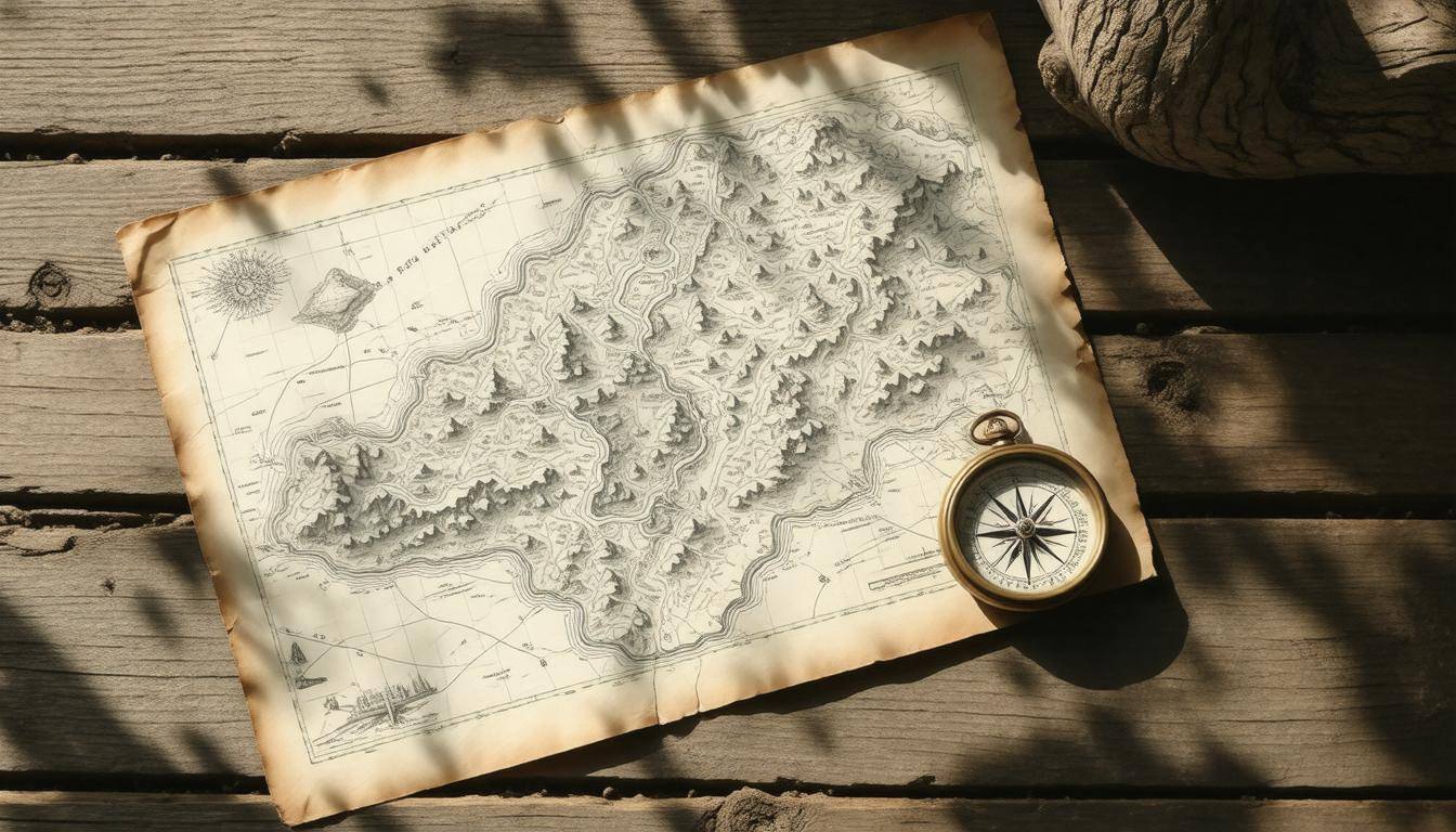
Improvised navigation tools encompass non-technical methods, such as using topographic maps and compasses, to navigate the wilderness without reliance on modern technology like GPS. These methods are crucial for adventurers in situations where technology may fail, ensuring safety and reliability in uncharted territories.
Using the Stars for Navigation
When you think about it, the vastness of the night sky is both bewildering and beautiful. Among its countless stars are guiding lights that can help you find your way if you ever find yourself lost. This ancient technique isn’t just fascinating; it’s incredibly practical, especially for adventurers looking to explore off-grid and navigate uncharted territories. The ability to read the stars connects you with generations past and empowers you with a skill that technology may fail to deliver.
North Star (Polaris) Guidance
Let’s begin with the North Star, known as Polaris. Almost directly above the North Pole, this star remains in a stationary position while all others seem to circle around it. This consistent location makes Polaris an invaluable tool for finding true north in the Northern Hemisphere.
To locate it, start by spotting the Big Dipper constellation. The two stars at the end of its “bowl” act like pointers, guiding you straight to Polaris, which is about five times the distance between those pointers. Once identified, all other directions can be derived from Polaris, giving you a solid reference point amidst the vast expanse above.
While Polaris shines in the northern skies, adventurers south of the equator have their own celestial guide.
Southern Cross in the Southern Hemisphere
In the Southern Hemisphere, travelers often turn to the Southern Cross constellation for directional guidance. By locating this distinctive cross shape in the night sky, one can ascertain southward direction effortlessly.
To do this, extend an imaginary line through the long axis of the cross approximately four and a half times its length. This line will lead you directly to the South Celestial Pole. As you practice this method, confidence will blossom within you; many navigators report that successfully identifying these celestial landmarks transforms their experience of navigating at night.
Picture this: you’re surrounded by dense woods with nothing but starlight overhead, feeling a bit like one of those brave explorers of old. The thrill of recognizing that twinkling cross overhead gives you newfound confidence that you’re not really lost at all—you’re just on an adventure!
Practicing these techniques can enhance your overall navigational skills tremendously. Something as simple as assessing angles—like measuring how high Polaris or the Southern Cross appears in relation to your position—can provide crucial information about your latitude and direction.
Learning to navigate by stars is more than just a skill; it becomes an art form that invites intimate interaction with nature itself—a dance of observation and intuition under an endless canopy of possibilities.
By taking time to study these constellations and practice assessing their positions relative to your surroundings, you’ll enrich your outdoor experience and cultivate a sense of connection with your environment that can greatly enhance any journey into the wilds.
With these foundational methods under your belt, let’s explore another natural element that can guide adventurers on their journeys.
Sun-Based Methods
The sun, a consistent beacon during daylight hours, provides us with invaluable information for navigating natural terrain. By mastering its movements and learning how to interpret them, adventurers can confidently traverse unfamiliar landscapes. One of the simplest techniques is the Shadow Stick Method, which doesn’t require advanced tools—just a stick and some patience.
Shadow Stick Method
To employ this method, find a straight stick about one or two feet long and thrust it firmly into the ground vertically. As the sunlight casts a shadow, mark the tip of that shadow with a small rock or any identifiable object. After 15 minutes have passed, return to your stick and notice that the shadow has shifted. Mark the new tip of the shadow just as you did before. By connecting these two marks, you’ll have drawn a line running approximately east to west—helping you identify cardinal directions based on your observations.
What’s fascinating here is how easily you can transform what might seem like an ordinary stick into an effective navigational tool simply by paying attention to the sun’s movement. If you ever find yourself in a situation without access to technology, remember that subtle details like these can make a significant difference.
Additionally, it’s important to note that this method not only provides direction but can also help develop your awareness of other natural features around you. The more you practice recognizing how shadows change throughout the day, the better you’ll become at using them for navigation.
Watch Method
If you’re looking for an even quicker way to determine direction using the sun, consider using a standard analog watch—a surprisingly useful tool in outdoor navigation.
For this technique, point the hour hand of your watch directly at the sun. Now comes the clever part: visually halve the angle between the hour hand and the 12 o’clock mark on your watch face. This bisected angle will lead you to find your north-south line. In regions situated in the Northern Hemisphere, south will be closer to where the sun sits in the sky; conversely, if you’re in the Southern Hemisphere, then look north towards where your hour hand indicates.
What makes this method so appealing is its accessibility; nearly everyone carries an analog watch while adventuring outdoors. Embracing such no-tech skills ensures you’re always prepared for unexpected wilderness scenarios where high-tech gadgets may fail.
Both of these solar-based techniques underline an essential truth: staying connected with nature and familiarizing yourself with simple tools can keep you oriented when wandering off traditional paths. By combining these methods with knowledge gained from prior experience and practice, you’ll enhance your confidence and enjoyment while exploring untamed territories.
As we continue our exploration of navigation techniques, let’s turn our attention to understanding how natural elements around us can serve as reliable signs on our journey.
Natural Signposts
Nature is not only beautiful; it’s also a reliable guide. When wandering through the wilderness, understanding how to interpret natural signposts can make all the difference in navigating effectively. From trees to animals, the world around you is brimming with indicators to help you find your way.
For instance, observing the growth patterns of trees provides insight into directionality. In the Northern Hemisphere, moss tends to flourish on the north side of trees due to its preference for shade and moisture. However, this isn’t an absolute rule; local conditions such as sunlight exposure and moisture levels can affect these patterns. It’s essential to consider multiple natural cues rather than relying solely on a single observation.
By combining various indicators—like watching how sunlight plays upon the land or noticing how vegetation adapts to its environment—you can achieve a more accurate sense of direction. For example, while surveying trees for moss growth, remember that other plants may grow denser in areas with optimal light. This holistic approach grants you a wider picture and reinforces your navigational capabilities.
But trees aren’t the only ones speaking; let’s turn our attention to the animal kingdom.
Animal Behavior
Animals are remarkable navigators, often following instinctual behaviors tied closely to cardinal directions. For instance, consider birds during migration. Their journeys align with specific routes dictated by seasonal changes and environmental cues. Observing their flight patterns can indicate which direction aligns with seasonal migrations—usually south in winter months and north in summer—offering valuable hints about your own orientation.
Furthermore, ants are interesting creatures when it comes to navigation. They commonly construct their nests so that entrances face south, capturing warmth from the sun during cooler days. This clever adaptation serves two purposes: providing comfort for the ants and indicating the direction for any wandering adventurer nearby. If you notice ant nests, take a moment to observe their alignment; it could assist in confirming your own navigational strategies.
The ability to read these natural cues becomes increasingly valuable while traversing off-the-beaten-path trails where technology fades away and traditional skills shine brighter.
By honing in on these natural signposts, you gain tools that enhance situational awareness and foster confident navigation without relying on modern devices. Each element you observe—whether it’s flora or fauna—acts as a building block for your understanding of the terrain around you, ultimately leading you home safely and efficiently.
As we explore deeper into the art of navigation under varying conditions, there’s much more to discover about nocturnal guidance amidst nature’s luminous features.
Moonlit Night Navigation
When it comes to navigating at night, the moon serves as an invaluable guide for adventurers willing to embrace its light.
As the moon glimmers in the night sky, mastering how to use it effectively can transform a pitch-black wilderness into a navigational playground. Understanding moon phases is the first crucial step. Each phase affects visibility and offers different cues about direction. For instance, during the waxing phase—when the moon is growing fuller—the illuminated portion will reflect to the west, effectively pointing your path like a compass rose. Conversely, in its waning phase—when it’s shrinking—the light will indicate eastward. This simple observation can significantly enhance your ability to maintain orientation under a starlit sky.
It’s not just the moon’s brightness that helps; tracking its movement is equally essential.
Moon’s Path
Like a celestial clock, the moon rises in the east and sets in the west, tracing a path across the night sky similar to our dearest sun. This predictable journey provides further directional insights. As you watch the moon rise above the horizon, consider its angle and height in relation to prominent landmarks around you. Not only does this choreography inform your current position, but it also allows you to estimate which way to head based on where it is relative to your location.
For example, if you notice that the moon has risen high above a cluster of trees you’ve previously passed, you can be assured you’re headed westward if that’s where it was located before dark.
The power of a full moon shouldn’t be underestimated. During full moons, visibility can increase up to ten times compared to starlit conditions alone! By harnessing this illumination, even minimally defined paths become apparent.
Yet, timing adds another layer of complexity; understanding when to navigate begins with knowing when the moon is shining brightest.
Timing Your Navigation
Planning your expeditions around lunar cycles can make all the difference. A full moon rises at sunset and sets around sunrise—a perfect scenario for nighttime adventures without fear of tripping over roots or rocks.
While maneuvering through nature’s intricacies during these bright nights feels intuitive, darker phases such as new moons make navigating more challenging and accentuate the need for solid backup plans such as good topographic maps or knowledge of natural signs around you.
“Navigating under a full moon isn’t merely easier; it’s almost magical.” – seasoned adventurer
Remember also that the moon’s declination shifts approximately 13 degrees daily; this means its height changes significantly from one day to the next. If you’re planning two nights in succession under its light, expect different altitudes and rising times—even minor adjustments in approach may be required.
As we move further into this exploration of navigation methods free from technology, there are additional resources rooted in nature’s cues that can sharpen your instincts and guide you through any terrain.
Environmental Cues for Direction
Numerous environmental factors provide directional cues if you learn to interpret them effectively. One such clue lies in the unique characteristics of rocks and soil, each telling a story about the surrounding environment. For instance, consider how lichen grows on rocks; it’s a fascinating indicator.
Lichens tend to flourish on the south-facing side in the Northern Hemisphere due to increased sunlight exposure, while the northern sides remain more shaded and cooler. This can give you an idea of north just by observing their colorful patches.
Just like trees may indicate cardinals with their growth patterns, rocks can subtly guide your way when you know what to look for.
When it comes to soil, darker and more moist earth often suggests a northern slope as it has less direct sunlight compared to its lighter counterparts. If you’re navigating through woodland areas or hills, pay attention to where the soil seems denser and more vibrant; this could mean you’re facing north. Utilizing these natural markers becomes not only an engaging activity but also a reliable tool for finding your bearings.
Water bodies, too, serve as natural compasses that reveal directionality if observed correctly.
Water Flow
Rivers typically flow from higher elevations to lower altitudes, a dynamic that lets us leverage powerful geographical knowledge. However, in certain regions—especially within the Northern Hemisphere—rivers can have a tendency to favor southern courses because of existing gradient effects. By watching the flow of a river or stream, you might glean helpful hints about where south lies.
It’s important to note that while many rivers seek the path of least resistance downhill, exploration reveals vast variations. In some areas, rivers bend and twist dramatically, making them less reliable as sole navigational aids.
To maximize your navigational competence, consider this: if you observe how waters meander through landscapes during your hikes or excursions, you not only appreciate natural beauty but also develop instincts for recognizing cardinal directions based on topographical features.
Remember to always check surrounding landscapes before placing undue reliance on water flow alone; every terrain has its quirks!
Wind patterns also hold significant clues regarding directionality in various environments. Wind typically moves from east to west in tropical regions; observing its behavior can greatly assist your navigation journey. Perhaps while camping or hiking, notice how wind currents interact with trees or grass—a skillful navigator will utilize these subtleties as they traverse unfamiliar territory.
By harnessing these environmental cues—from the orientation of lichens on rocks to understanding water flow—you equip yourself with invaluable tools for successful navigation without modern gadgets or technology.
This immersion in nature not only enhances your outdoor experience but also prepares you for the practical aspect of creating basic navigation tools that improve your exploration capabilities.
Crafting Basic Navigation Tools
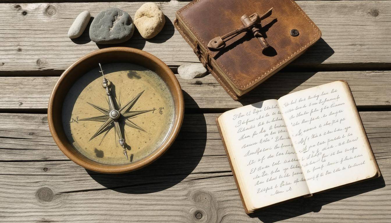
Creating simple navigation aids from readily available materials is not only feasible, but it’s also a fun challenge that strengthens your connection with nature. Take, for instance, the simple compass. Imagine you’re out in the wild and realize you can’t rely on modern technology. Instead of panicking, you can whip out a few everyday items to guide you.
The first step involves magnetizing a needle, which you can easily do by rubbing it against silk or your own hair. This process effectively transforms an ordinary metal needle into a makeshift compass, aligning itself with Earth’s magnetic fields.
To complete your compass, find a small piece of paper or a leaf and place it on water—this could be in a stream, a puddle, or any water source around you. Gently place the magnetized needle on top of the floating material; it will start to spin before settling down and pointing in a north-south axis. This simple tool can save you from disorientation when navigating through thick woods or rugged terrains.
While compasses are invaluable in their own right, directional markers made from natural materials can aid your journey even further.
Building a Directional Marker
A directional marker is an intuitive and effective way to improve your navigation skills without using electronics. Think of this as leaving breadcrumbs for yourself—it helps maintain your course over longer distances. Start by collecting some sticks or stones from your environment.
As the sun casts shadows throughout the day, place these sticks or stones in line with those shadows every 15 minutes to track the movement of sunlight across the sky.
This method provides consistent reference points and reduces the need to constantly recalibrate your direction as you navigate.
By marking your path, you not only create navigational aids but also make it easier to return if needed. Consider assembling at least five markers so you have visual cues guiding you back through unfamiliar terrain.
And while these tools are rudimentary, they reveal an important lesson: improvisation fosters creativity and resourcefulness in navigating the wilderness. Being prepared with basic navigation tools offers a sense of confidence and reassurance when heading off the beaten path.
These crafting techniques highlight that even in the absence of technology, there are practical solutions at hand waiting to be utilized for effective navigation when venturing into the great outdoors.
With these no-tech methods firmly in mind, let’s now turn our focus to understanding how to analyze natural features that assist in your journey.
Analyzing Terrain Features
Understanding how to interpret the landscape around you can turn a confusing sprawl of trees and rocks into a reliable map of natural indicators. Reading the landscape isn’t just an art—it’s a critical skill for any adventurer. With practice, you’ll learn to see contours, identify landmarks, and recognize vegetation patterns that can guide your path or point out hazards.
Understanding Contours
Contour lines on a map are essential in portraying elevation changes across the terrain. They convey a wealth of information, and with some practice, you can learn to interpret them effectively. For instance, closely spaced lines reveal steep slopes and cliffs, suggesting areas to navigate carefully, while widely spaced lines indicate gentle hills or flat land, making those paths easier to traverse. This visual information can help you anticipate potential challenges before you even set foot on the terrain.
Imagine coming upon two options: one path leading up a steep hill and another meandering gently upward. Reading those contour lines helps you decide which route is manageable for your energy level.
Utilizing this knowledge enables you to pinpoint ridges and valleys—the peaks of hills or the low-lying areas where water might collect. Remember that valleys often serve as natural pathways; if you’re aiming to stay oriented, understanding these layouts will be your key to effective navigation.
River and Mountain Patterns
In addition to contours, natural water bodies offer invaluable directional cues in the wilderness.
| Feature | Directional Indication |
|---|---|
| Rivers | Flow from high elevations to low |
| Mountain Ridges | Often align predominantly north-south |
| Valleys | Generally follow along river paths |
Rivers are particularly useful as they flow from higher elevations down toward lower areas and can guide your way back towards civilization or points of interest. You can follow their course, feeling confident that it generally indicates a route towards lower ground. Mountain ridges tend to maintain a north-south orientation but will vary based on specific geographical formations—knowing this can provide rough directional bearings when relying solely on natural features.
Another natural feature to observe is vegetation patterns; different plants often thrive in distinct terrains. For example, lush greenery typically signifies ample moisture in lower valleys, while rocky outcrops may emerge in drier regions. Observing these clues provides additional insight into what lies ahead or even potential hazards like unstable rock surfaces.
By honing these skills of analyzing terrain features—through understanding contours, recognizing strategies with rivers and mountains, and interpreting vegetation—you will build your confidence in navigating without technology.
Now let’s shift our focus to ways you can practice these skills for hands-on experience and mastery.
Practical Exercises for Skill Building
Hands-on practice cements navigation skills, transforming the theory learned in books and discussions into practical knowledge you can confidently use outdoors. One effective way to start is by creating a controlled environment for your initial training sessions. Familiarize yourself with your local area, perhaps a nearby park or nature reserve, where you can explore without fear of getting lost.
As you embark on small adventures, rely on natural signs like the positioning of the sun or distinctive trees and rock formations to guide your path. It’s surprising how much information the environment holds if we take time to observe it carefully.
As you grow comfortable with these techniques, progressively increase the complexity of your exercises. Challenge yourself by planning a half-day hike wherein you’ll depend solely on improvised methods rather than technology. For this hike, track your starting coordinates, but don’t rely on any devices to find your way back. Instead, attune your senses to gather cues from nature—perhaps the pattern of moss growth on trees or the direction of prevailing winds. This exercise not only enhances your navigation skills but also heightens your awareness of the surroundings, enriching your entire outdoor experience.
Research supports that those who regularly engage in such exercises become more adept at handling unexpected situations in unfamiliar territory. By practicing regularly, you build muscle memory and reinforce the pathways in your brain associated with navigation skills. Whether it’s identifying landmarks or reading the terrain, confidence grows with each outing. Practicing these skills isn’t just about memorizing techniques; it’s about ingraining a mindset that values observation and instinct over reliance on gadgets.
Feedback from adventurers highlights this truth profoundly. One hiker shared that relying on natural cues for navigation during a week-long trip was both challenging and immensely rewarding. They recounted moments of uncertainty where their instincts took over, guiding them with a newfound understanding of their environment. This transformational experience emphasized that mastering navigation through hands-on practice leads not only to proficiency but to a deeper connection with nature itself.
In light of these insights, consider how you can apply these principles in your own explorations as you continue honing your navigational abilities without technology’s safety net.
By embracing these no-tech methods and committing to regular practice, you’ll find yourself more equipped for adventures regardless of where they lead you.