
Yokohama, a vibrant city nestled by the sea, boasts beautiful coastlines and bustling urban life. However, lurking beneath its stunning facade is the ever-present threat of tsunamis, reminding us that nature can be unpredictable and dangerous. Understanding how to navigate such emergencies is crucial for everyone living in or visiting this area. With lessons learned from past disasters like the Great East Japan Earthquake, Yokohama has taken significant strides toward creating an effective tsunami evacuation plan. This guide outlines the city’s well-thought-out strategies, designed to keep residents safe and informed during such events. Together, we’ll explore how proactive planning, community involvement, and modern technology work hand-in-hand to enhance preparedness and resilience against potential tsunami threats.
Yokohama’s tsunami evacuation route planning is designed based on lessons learned from the Great East Japan Earthquake, incorporating clearly marked and accessible routes that lead to designated safe zones such as schools and community centers on higher ground. The city emphasizes ongoing public awareness, regular drills, and real-time updates to prepare residents for quick and effective evacuations during a tsunami event.
Overview of Yokohama Tsunami Evacuation Plan
Yokohama’s geographical positioning along the Pacific Ring of Fire renders it exceptionally vulnerable to tsunamis, making a well-structured evacuation plan not just beneficial but vital for public safety. Learning from past tragedies like the Great East Japan Earthquake of 2011, city officials have meticulously crafted an evacuation strategy that is both comprehensive and practical. This plan was significantly revised in March 2013, aiming to maximize efficiency and effectiveness. It includes over 150 designated evacuation facilities strategically located throughout the city, ensuring residents can reach safe havens rapidly when alerts are raised.
Each facility serves as a sanctuary against the unpredictable nature of tsunamis, with sites ranging from local elementary and junior high schools to community centers and parks—places that we hope residents will recognize and be able to access quickly during emergencies. For example, within the Naka ward, key refuges such as Yokohama Stadium provide ample space for large groups seeking shelter, while local schools are prepared with essentials to cater to those who seek refuge.
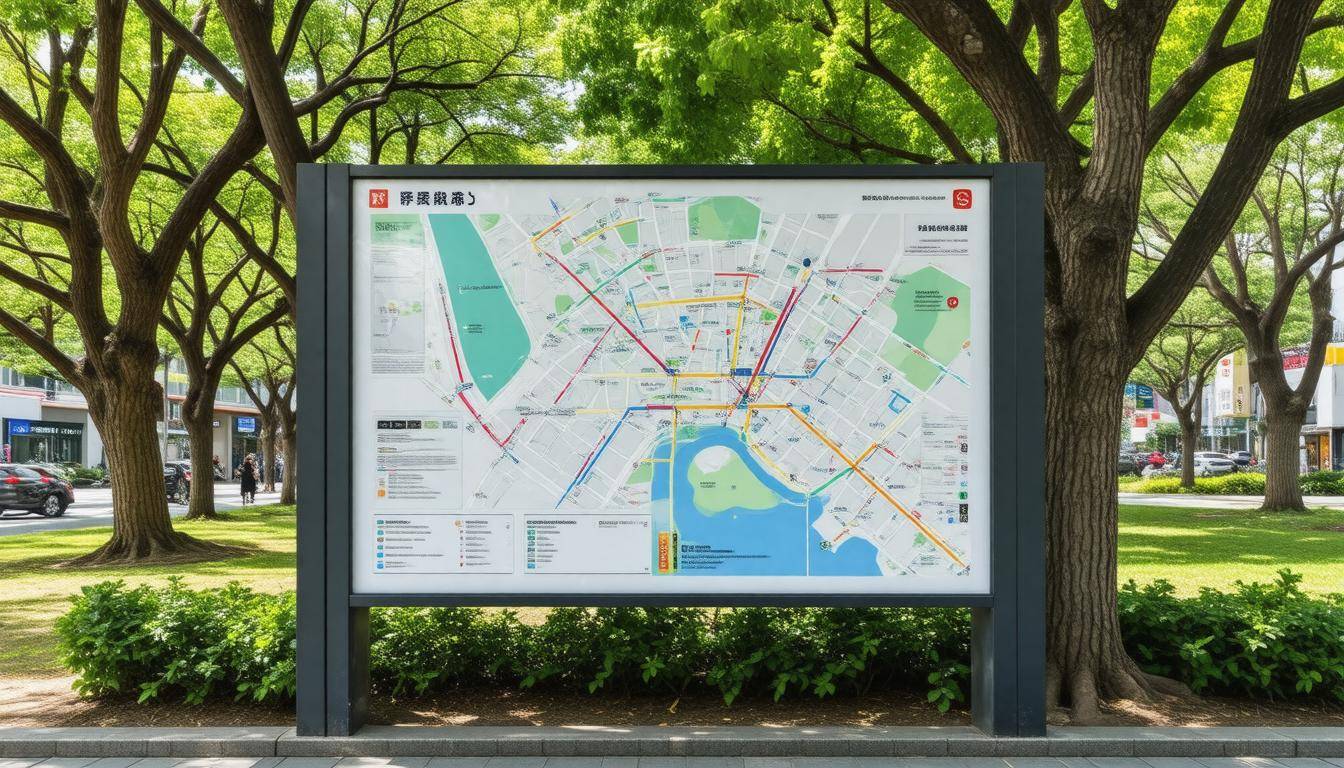
But it’s not merely about having locations set. Evacuation routes play an equally crucial role in this plan. More than 1,200 marked evacuation routes cross through the city, with over 2,000 signs placed strategically to guide residents efficiently toward safety. The average distance from coastal areas to these evacuation centers is around 1.5 kilometers, allowing individuals approximately 10 to 30 minutes to reach high ground from low-lying regions depending on traffic conditions.
Furthermore, as part of enhancing preparedness, the city regularly conducts tsunami drills twice a year, engaging the community actively and increasing awareness about evacuation protocols.
Residents who participate in these drills often report feeling better prepared for emergencies; in fact, studies indicate that more than 70% of participants felt an increase in their readiness after taking part.
Public safety isn’t solely reliant on drills or established routes; it also thrives on community involvement. Surveys show that residents engaging in planning discussions have led to increased participation in tsunami readiness initiatives. Additionally, new technology—like mobile apps providing real-time tsunami warnings and information—has been developed to complement the extensive planning already in place. These advancements lend a modern touch that conveniently keeps all citizens informed.
It’s fascinating how today’s technology has evolved so drastically since 2011; now we have information at our fingertips while simultaneously being given explicit instruction—a far cry from waiting for news broadcasts!
As these measures roll out, understanding the natural forces behind potential tidal events becomes increasingly important for citizens’ awareness and preparedness.
Tsunami Risks and Geological Factors
Yokohama sits squarely in a region prone to seismic activity, nestled along the Pacific Ring of Fire. This geographical positioning means it is particularly vulnerable to underwater earthquakes which can generate powerful tsunamis. The tectonic plate movements—including subduction zones—are key players in this dangerous game. Subduction zones, where one tectonic plate moves under another, create tension that can lead to significant earthquakes, sending shockwaves through areas like Yokohama.
The geological landscape is not just a backdrop; it acts like an orchestra conductor that influences the very nature of seismic events.
Recent scientific studies reveal that a major offshore earthquake could unleash waves towering as high as 10 meters upon impact with the coast of Yokohama. Such massive waves wouldn’t simply drench a few streets—they would inundate significant portions of the city, causing widespread devastation. This grim perspective drives home the importance of having well-thought-out evacuation strategies in place.
Since understanding potential risks is only part of the equation, mapping has become crucial to visualize these dangers.
The Kanagawa Prefecture has taken proactive measures by conducting detailed mapping efforts since 2015 that model various inundation scenarios based on historical data. These mappings help estimate not just what might happen during an emergency but also how far inland the water could reach under different earthquake magnitudes. It’s truly eye-opening to see just how vulnerable specific neighborhoods can be when overlaying these flood maps with everyday life in Yokohama.
Historical events provide a stark reminder of what could happen if vigilance falters. For instance, research indicates that during the 1923 Great Kanto Earthquake, tsunamis wreaked havoc upon Yokohama’s shores, reinforcing why robust defensive measures need to be put into place. The haunting echoes of past tragedies highlight both urgency and necessity for preparedness today.
Preventive action is about learning from history and ensuring we aren’t caught off-guard when Mother Nature strikes again.
Given these geological challenges, it becomes increasingly clear that community awareness is essential to safeguard lives and property. By ensuring residents understand these risks and preparing accordingly—whether through drills or educational initiatives—we can forge a safer future in Yokohama.
Alongside understanding geological factors, attention must shift toward outlining viable evacuation routes and safety zones designed specifically to reduce risk during tsunami events.
Primary Evacuation Routes and Safety Zones
Yokohama is a city with a well-thought-out network of primary evacuation routes designed for efficiency and speed, ensuring that residents can reach safety as quickly as possible during a tsunami warning. These routes have been strategically planned to facilitate access to safe zones—areas confirmed to provide shelter against potential tsunami impacts. More than 70% of these routes can be reached on foot within 10 to 30 minutes from any low-lying area, allowing residents to evacuate promptly when an alert is issued. This is paramount because every moment counts when facing nature’s unpredictability.
Let’s take a closer look at specific evacuation routes across various wards in Yokohama. In Tsurumi Ward, the Yokohama Science Frontier High School serves as a critical safe zone, while Kanagawa Ward directs evacuees towards Rokkakubashi Park, known for its elevated terrain. In the bustling Nishi Ward, residents can find refuge in the Minato Mirai 21 Central District, designed not only for work and leisure but also as an effective emergency shelter. Meanwhile, in Naka Ward, the Yokohama Motomachi Elementary School stands ready to accommodate evacuees, assessed for its capacity to handle large numbers of people during emergencies.
The careful selection of these sites illustrates a commitment to ensuring safety through elevation and accessible infrastructure.
On top of that, it’s crucial to highlight that these evacuation routes are complemented by effective signage.
The infrastructure supporting these evacuation routes plays a pivotal role in saving lives during emergencies. Signs are installed throughout the city in both Japanese and English, enhancing accessibility for local residents and international visitors alike. These signs guide individuals along designated paths toward safety while ensuring everyone understands where to go under stressful circumstances. Regular community drills further involve citizens in preparedness efforts—over 75% of participants reported increased confidence after practicing their responses during simulated evacuations.
While having clearly marked evacuation routes is vital, understanding the designated safety zones is equally important. Safe zones are typically located on higher ground—such as parks or community centers—that have been assessed for their structural soundness during emergencies. Notably, locations like Yokohama Stadium can hold up to 30,000 people, offering reliable shelter far above potential inundation levels. Sankeien Garden provides natural elevation with a quaint atmosphere suitable for temporary refuge, while facilities like Yokohama City Hall offer organized emergency shelter alongside basic amenities.
This comprehensive approach not only prioritizes public safety but also fosters community resilience. By continually updating and maintaining this intricate system of evacuation routes and safe zones, Yokohama sets a robust framework for disaster preparedness that will benefit its citizens long into the future.
As we explore further, it’s essential to examine how the physical elements of the city—the structures and signs—support this extensive planning and preparation.
Infrastructure and Signage
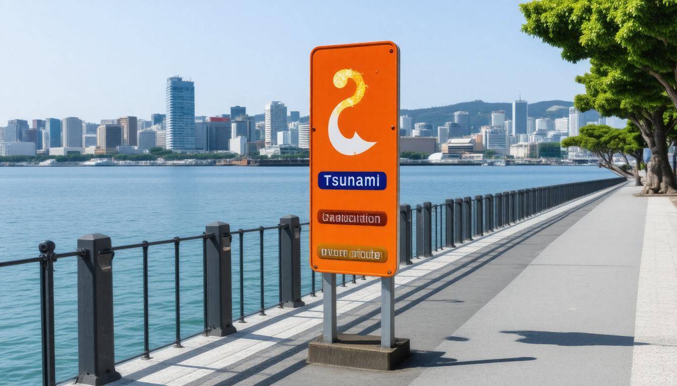
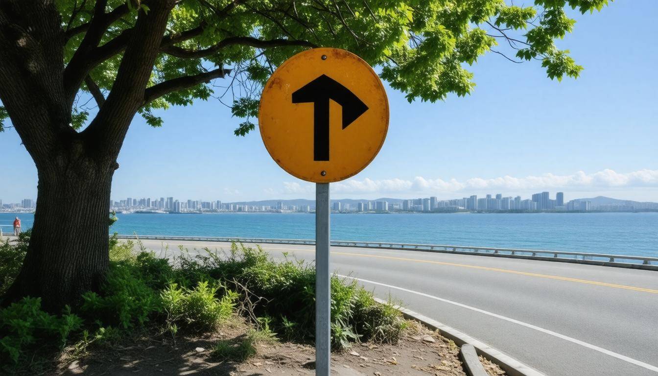
In Yokohama, a city located on the Pacific Ring of Fire, the infrastructure crafted for tsunami evacuation routes plays a critical role in saving lives. Clear and accessible signage serves as an immediate guidance system during emergencies. The city’s investment in displaying bilingual signs—crafted in both Japanese and English—ensures that all residents and visitors can understand evacuation instructions without confusion. This commitment to inclusivity fosters safety and cultivates trust within the community.
As part of this initiative, Yokohama has installed over 1,200 evacuation signs throughout the urban landscape. These markers include arrows pointing toward safe zones, distance indicators to show how far one needs to travel, and altitude levels to help individuals gauge their current elevation concerning sea level—a crucial factor during a tsunami alert.
The significance of sea level markings cannot be understated. Locations such as the Kanagawa Kenmin Center facilitate awareness about current elevations, enabling citizens to make swift decisions about whether they need to evacuate or if they are sufficiently elevated to remain safe.
Infrastructure goes beyond just signage. The city has designated various evacuation facilities like schools, train stations, and community centers as safe havens. Each facility has been evaluated for accessibility during emergencies, making it easier for people to reach these shelters promptly. The strategic location of these facilities ensures that anyone in low-lying areas can typically reach a safe zone within 10 to 30 minutes on foot, depending on traffic conditions.
Additionally, Yokohama invests in regular drills and preparedness programs that engage local communities. More than 70% of participants reported feeling more prepared after having participated in these exercises. This community involvement familiarizes residents with the routes and reinforces collective responsibility towards safety.
As we explore further aspects of the city’s emergency response strategy, it’s vital to acknowledge how essential training and preparedness initiatives contribute to overall public safety during tsunami events.
Community Training and Preparedness
Regular training exercises and public drills are at the heart of Yokohama’s tsunami readiness. By conducting frequent drills, the city ensures that residents become familiar with evacuation routes and procedures. This familiarity is crucial because when an emergency arises, every second counts; knowing where to go can mean the difference between safety and disaster. With participant rates generally exceeding 70%, these drills effectively engage and educate residents, enhancing their sense of confidence and readiness.
One resident, Ms. Tanaka, shared her experience, stating, “After attending the drills, I feel much more confident in my ability to respond quickly during an actual emergency.” Her perspective highlights a critical element of these training sessions—it’s not just about memorizing routes; it’s about instilling a sense of assurance that empowers citizens in times of crisis.
Moreover, these training programs also serve a dual purpose, ensuring that everyone from school children to elderly residents is aware of evacuation protocols.
Importance of Inclusive Training
Inclusivity in community training programs plays a central role in disaster preparedness. Tailoring workshops to different demographics can improve understanding across age groups and capabilities. For instance, schools have incorporated evacuation drills into their curriculum, teaching children not only where to go but why it’s essential to act swiftly. On the other hand, special sessions for seniors emphasize mobility considerations and offer alternative evacuation strategies tailored for those who may require additional assistance.
Additionally, ongoing collaboration with local organizations enhances readiness efforts. The city partners with various community groups to distribute emergency kits and provide resources on safe practices during a tsunami. These initiatives promote awareness and foster a culture of immediate action among residents. Survey data shows that approximately 65% of households in tsunami-prone areas have prepared emergency kits containing essentials like food, water, and first-aid supplies—a testament to the effectiveness of public awareness campaigns.
These community-driven efforts culminate in a robust safety net for Yokohama’s residents.
Sustaining Preparedness Efforts
As we look ahead, sustaining engagement within the community remains vital. Regular feedback from participants helps refine drill techniques and content delivered in training sessions. Yokohama’s Disaster Prevention Bureau not only assesses participation rates but also organizes monthly workshops aimed at enhancing individual preparedness. Since 2024 alone, over 1,200 residents have taken advantage of these training opportunities—illustrating the city’s commitment to building a well-informed population capable of acting decisively when needed.
To truly capitalize on these initiatives, residents are encouraged to engage actively—not just as participants in drills or workshops but as advocates for tsunami preparedness within their neighborhoods. Forming local support groups can allow neighbors to share knowledge and resources while creating a tightly knit community resilient against disasters.
The strategic partnerships formed between government entities and community members pave the way for innovative advancements in emergency protocols that will benefit all.
Recent Enhancements in Safety Protocols
Recent advancements in technology and updated threat assessments have transformed the landscape of tsunami evacuation planning in Yokohama. A key feature of this transformation is the introduction of new designated safe zones, which are strategically situated to provide maximum security for residents during an emergency. By leveraging geographical data and historical tsunami patterns, city planners identified locations with optimal elevation that can serve as immediate refuge areas. This proactive approach helps ensure swift access to safety and instills confidence among residents.
Since October 2024, there has been a remarkable overhaul in the communication infrastructure with the implementation of real-time alert systems integrated into local mobile networks. Imagine receiving an alert directly on your smartphone—this technology provides alerts not just about tsunamis but also other related emergencies such as heavy rains or seismic activities. This quick dissemination of information enables individuals to react promptly when it matters most.
The faster warnings can reach individuals, the more effective evacuations will be.
These technological improvements, along with regular drills and training exercises, significantly increase the chances of successful evacuations. During these drills, citizens practice utilizing these designated safe zones systematically while receiving simulated alerts through their devices. This experience conditions residents to follow procedures during a real event and reduces panic that typically occurs in emergencies.
Furthermore, the initiative extends beyond just alerts; it involves public awareness campaigns to educate residents on evacuation routes and procedures. Local officials encourage community participation by organizing workshops and town hall meetings dedicated to educating everyone from children to senior citizens about how to respond during emergencies.
This emphasis on community education is another enhancement in safety protocols. It’s not enough just to inform people; they must understand the information and how to act on it effectively. Utilizing easy-to-follow visual signage throughout neighborhoods further reinforces these protocols by providing clear directions during critical moments.
The integration of technology together with public education strategies presents a formidable safety net for residents. As these initiatives unfold, a robust framework for responding effectively during emergencies has been established.
Emergency Response Procedures
During a tsunami, the intricacies of coordinated emergency response can mean the difference between chaos and safety. In Yokohama, this coordination is not just an abstract concept but a well-planned system involving various agencies such as the local government, fire department, and medical services. These institutions work together seamlessly, conducting joint simulations every six months to fine-tune their strategies and protocols.
One of the impressive outcomes of these collaborative efforts is reflected in recent drills. For example, in May 2025, different agencies came together for an extensive drill that simulated rapid deployment scenarios. Through these exercises, they practiced synchronized communication techniques and refined evacuation tactics. Such preparedness has proven effective; they significantly reduced expected response times, which is crucial in an emergency where every second counts.
The key takeaway from these drills is understanding the importance of preparation and rehearsal. Just as athletes train for months before a big game, emergency responders must be thoroughly equipped to handle any crisis.
Resources and public awareness campaigns bolster these measures, empowering citizens with the knowledge they need to protect themselves. By prioritizing public education on the evacuation routes and safety procedures, Yokohama cultivates a culture of preparedness among its residents. Workshops and informational sessions further enhance community engagement, ensuring everyone understands what to do when disaster strikes.
To foster this spirit of readiness, regular outreach efforts like Walking Town Halls have been initiated. Here, community voices are heard regarding improvements to local disaster preparedness strategies. This engagement reinforces that disaster response is not solely the responsibility of authorities; it requires an informed and proactive community.
Additionally, ongoing programs are designed to focus on youth engagement. For example, Camp Zama youth participated in initiatives aimed at feeding the homeless during crises. This reflection of cooperation highlights a community-centric approach and demonstrates how young people can contribute positively in challenging situations.
This commitment to preparedness and community involvement sets the stage for exploring how educational initiatives further empower residents in enhancing their safety. As we move forward, we’ll examine various tools and campaigns that play a crucial role in building public awareness and responsiveness during emergencies.
Resources and Public Awareness Campaigns
Effective public awareness campaigns play a pivotal role in educating residents about tsunami risks and evacuation protocols. In Yokohama, these campaigns are lifelines designed to equip people with vital information that could save lives. By leveraging multiple channels for communication, the city ensures that crucial information reaches individuals from all walks of life, regardless of their access to technology or familiarity with emergency procedures.
Yokohama utilizes a variety of media channels to disseminate information, including social media platforms, websites, and community bulletin boards. Each medium serves a distinct purpose and targets different segments of the community. For instance, social media allows for rapid dissemination of safety updates and engagement through interactive posts while community bulletin boards provide tangible reminders of important safety protocols right where residents live and work.
One outstanding example is the city’s “Yokohama Safe” app. This mobile application provides real-time alerts during emergencies, ensuring that users receive push notifications about incoming threats such as tsunamis. Moreover, it offers detailed instructions for evacuees—guiding them toward safe evacuation routes efficiently. This kind of technological integration significantly enhances the city’s response capabilities and empowers individuals to act swiftly during disasters.
| Resource Type | Description | Access Example |
|---|---|---|
| Mobile Apps | Real-time alerts and interactive evacuation maps | Yokohama Safe |
| Social Media Campaigns | Posts that share safety tips and increase awareness | Yokohama City’s Twitter account |
| Community Bulletins | Physical notices providing updates in neighborhoods | Downtown Yokohama bulletin boards |
| Government Websites | Comprehensive guides containing emergency contact info | www.city.yokohama.lg.jp |
Furthermore, community engagement is enhanced through physical notices scattered across various neighborhoods. These bulletins serve as constant reminders and provide updates on local risk factors or changes in emergency plans, ensuring that even those less tech-savvy are kept informed. It also reinforces the city’s commitment to maintaining clear lines of communication with its residents.
By harnessing these resources effectively, Yokohama aims not only to inform but to foster a resilient culture of preparedness among its citizens—that readiness can mean the difference between chaos and calm when disaster strikes. Communicating accessible resources empowers everyone to take part in creating a safer environment for themselves and their neighbors.
Ultimately, ensuring that every resident is well-informed is essential for building a community capable of responding effectively to potential disasters. Stay alert and prepared!